
Walk a Bellevue Street Record
A sound Bellevue street directory search treats an address as a chain of keys. Begin with the directional prefix, suffix, and unit. Parcel Viewer can normalize that entry and highlight the mapped land. Copy the parcel number, situs address, legal description, and map position before opening assessor detail. Situs means the physical site, not the owner mailing address.
- Enter the complete address in Parcel Viewer and confirm the red outline.
- Open eReal; save owner, situs, mailing address, parcel number, legal text, and sale date separately.
- Search Landmark by owner, supported parcel ID, or legal description, then read the deed.
- Check Bellevue permits by address and category; request a fuller public file if needed.
- Use VoteWA only for one name and birth date, and verified reverse directories for past occupants.
An assessor owner is a title lead, not an occupant list. A permit may name an applicant, owner, contractor, architect, or project contact. A directory entry reflects one publication year. Labeling roles prevents a street-linked name from being misreported as a current resident.
Bellevue Parcel Search Fields
King County Parcel Viewer accepts address, parcel number, or condominium name and links into eReal. Its click and select tools help inspect nearby parcels.
| Control | Type | Required | Use |
|---|---|---|---|
| Parcel/account | Text | At eReal entry | Open one parcel card |
| Address | Search | No | Normalize direction, suffix, unit |
| Owner | Name | No | Test variants, confirm situs |
| Condo | Search | No | Find a complex and unit parcel |
| Map click/select | Action | No | Inspect or export selected parcels |
The eReal property record adds owner, address, legal, value, building, and sale data. GIS is informational, not a survey. The official view below is the by-address starting point.
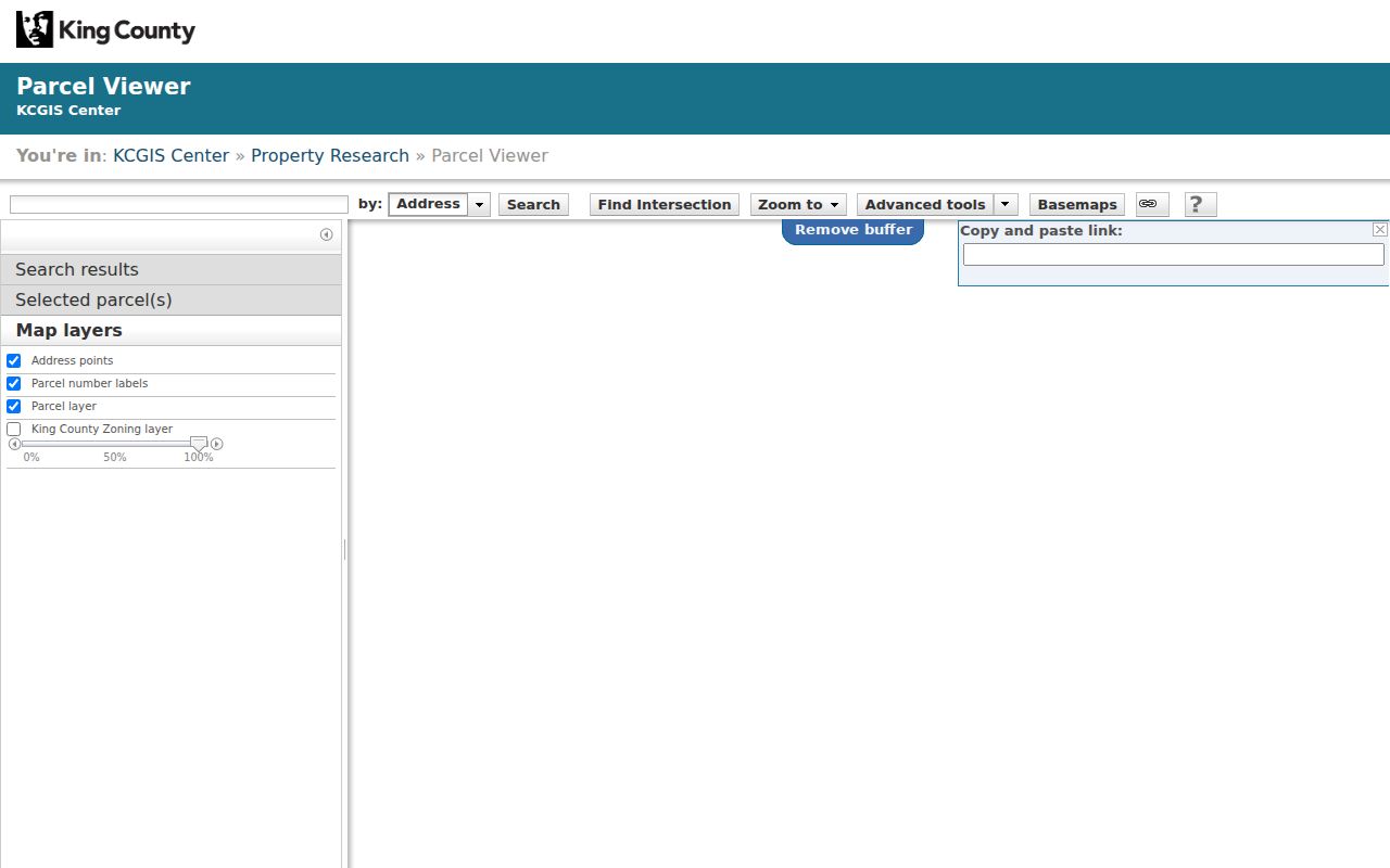
Confirm the parcel outline before attaching an owner name to a street number.
Bellevue Street Address Meanings
County and city systems use several address concepts. The legal description is often the stable key when street wording changes.
- Parcel
- A numbered tax and mapping unit; a condominium can have many.
- Situs address
- The physical site address.
- Plat
- A recorded map of lots, blocks, roads, and easements.
- Criss-cross directory
- A reverse directory arranged by street and number.
A mailing address says where correspondence goes, not where an owner lives. Copy an old directory address as printed, then reconcile it with the plat and parcel.
Browse Bellevue Streets in GIS
Zoom along a road, click each parcel, and save its ID and situs. Parcel Viewer can select multiple parcels or an area and export data. King County iMap adds intersection search with an ampersand, aerial views, hillshade, political boundaries, and planning layers.
Maps do not create household lists. Corner lots may face another road, shared drives can serve several parcels, and an apartment parcel may not identify units. Save map orientation and the check date. Note: Confirm boundaries, title, and legal rights through recorded instruments.
Bellevue Streets Meet Landmark
Use Landmark Records Search for deeds, easements, mortgages, liens, plats, surveys, and condominiums. A grantor gives an interest; a grantee receives it. Search the present owner as grantee near the sale date, read the legal description, then search the seller as grantee earlier.
Modes include Name, Document Type, Book/Page, Consideration, Recording Number, Parcel ID, Record Date, Legal, Advanced Legal, Quick Search, and Torrens. Parcel ID search is noted from 1997, while the index generally reaches 1976. Try initials, punctuation, party roles, lot and block, and wider dates. The official source screen shows the deed layer behind a Bellevue street directory.
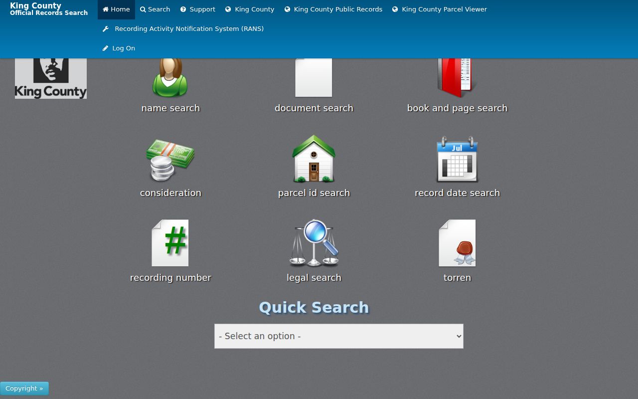
Log recording number, date, roles, document type, legal description, and image status.
Bellevue Deeds Before Images
Most documents recorded on or after August 1, 1991 have online images. That is not the index start. King County Archives supplies microfilm and historic indexes. Grantor-grantee material from 1853 through 1975 is name-and-date based, not a street browser.
Bring names, a five-year span, legal description, parcel, and recording number. Parcel sales histories from 1973 through 1981 and excise indexes from 1961 through 1997 can bridge gaps. Recorder copies are available online, by mail, phone, or in person; Archives offers research-room and order routes. Search is free, while copies or staff work can cost more.
Bellevue Records Searchable by Street
No record answers every question. The street directory coverage separates title, place, project, and past occupant evidence.
| Record | Keeper | Shows | Access |
|---|---|---|---|
| Parcel card | Assessor | Owner, situs, mailing, legal, sales | eReal/Parcel Viewer |
| GIS | County GIS | Boundary, address point, nearby parcels | Parcel Viewer/iMap |
| Instrument | Recorder | Parties, date, legal text, number | Landmark/Archives |
| Permit | Bellevue | Project, applicant, contacts, status | Search/request |
| Voter record | Elections | Lawful public registration fields | Individual or controlled request |
| Reverse directory | Libraries | Edition-specific occupant | Print/scan/microfilm |
For past occupants, use verified editions and newspapers. Collection detail belongs on the Bellevue city directory page.
Bellevue Permits Along Streets
The Bellevue permit search exposes Keyword, Category, and Apply controls. Results can connect a project address to contacts, plans, dates, and status, but not prove residence. Historic coverage is not fully stated.
Use the Development Services request route for older plans, land use, grading, or complete history. Give an address, type, and date span. Public portions can be released with exempt details redacted.
Bellevue Streets and Voter Rules
VoteWA checks one person by first name, last name, and birth date. It is not a street browser. The separate VRDB extract may contain lawful address, precinct, district, registration, and participation fields, but RCW 29A.08.720 limits use. Protected voter and ACP data cannot be used to uncover a hidden address.
A failed result may reflect spelling, timing, status, county, or protection. It does not prove absence. Never republish a downloaded voter file as a public street roster.
Bellevue Street Labels Changed
Bellevue incorporated in 1953, then added Crossroads in 1964, Lake Hills in 1969, Factoria in 1993, Coal Creek in 2009, and Eastgate-area land in 2012. A Bellevue postal label can predate city jurisdiction. Preserve modern address, legal description, and former community name. Do not assign a renaming year without a plat, address file, directory front matter, or newspaper notice.
The 2012 Eastgate/Tamara Hill, Horizon View, and Hilltop changes are a useful warning. Bellevue reported that those annexations added more than 5,400 people, about 1,850 residences, and 700 acres. An older county parcel, regional directory, or newspaper line may therefore describe the same site under a neighborhood or postal label, even when the current city map calls it Bellevue. Search both vocabularies and keep the annexation date in the ledger.
Bellevue Streets in Reverse Directories
A reverse, or criss-cross, directory turns the normal name search around: find the street, then the number, then read the occupant or business printed for that edition. Verified regional traces include Bellevue-Kirkland editions for 1964-65 and 1966, a Bellevue-Kirkland-Redmond edition for 1972, and a 1982 regional volume. Coverage varies. Do not present those traces as one complete Bellevue-only run.
Search the exact number with and without its directional prefix, then inspect neighboring numbers for context. Compare the reverse entry with the alphabetical name entry when both exist. Initials, spouse notation, abbreviations, apartment formatting, and postal labels can differ. A printed occupant may be an owner, renter, boarder, or business contact, so compare it with the deed and parcel record for the same year. Bellevue Library, Seattle Public Library, and regional archive staff can confirm whether a specific edition includes the target road.
Bellevue Newspapers Date a Street
KCLS microfilm holdings provide another dated address layer: Bellevue American from 1935 through 1976, Daily Journal-American from 1976 through 1996 with listed gaps, and Eastside Journal from 1996 through 2003 with a February 2001 gap. Building advertisements, club notices, obituaries, business openings, and moves can connect a name to a road between directory editions.
Search by date and newspaper title, not just by address. Optical text search can miss small type, and microfilm gaps must be logged as gaps rather than proof of absence. KCLS reference help can search an obituary window when a death date is known. Seattle Public Library, probate files, cemetery collections, or another newspaper run provide sensible fallback routes when the local reel does not cover the needed date.
Bellevue Street Research Handoffs
A precise handoff can recover records that a broad web search misses. For a deed before the online image period, give King County Archives the party names, five-year span, parcel, legal description, and any recording number. For an older Bellevue permit, send Development Services the address, project type, and likely date. A library request should name the desired directory edition or newspaper title and exact date window.
Keep a research log for each property. Record the source, query, result date, parcel or case number, person role, and the words used for the street. Note whether the item is an index entry, an image, a certified copy, or a staff response. That log prevents same-name errors when an owner, permit contact, deed party, voter, and directory occupant might otherwise be blended into one person.
For older Bellevue roads, ask whether a plat, annexation, or postal label changed the search term. King County Archives, Bellevue Library, Seattle Public Library, and Puget Sound Regional Archives hold different layers. No single counter replaces the others. A sound street directory result is a dated chain whose links can be checked again.
Confirming a Bellevue Street Match
Before accepting a name, compare at least two dated sources and make sure each describes the same parcel or legal description. A deed party, tax-mail recipient, permit contact, and directory occupant can all have different roles. Save the source date and role beside every name. Photograph or download the result when allowed, since portal data and parcel ownership can change. Record any spelling variant and the date you checked it. If the evidence conflicts, ask the Recorder, Assessor, Development Services, Archives, or library for the underlying record instead of choosing the most convenient result.
Bellevue Street Directory Limits
Parcel records name title interests, not full households. Utility customers, private rosters, protected voter addresses, and sealed files are not public occupant sources. Multi-unit sites often yield a building parcel without resident names.
Privacy matters. Use Bellevue records for lawful personal research, property history, and civic questions. Never stalk, harass, threaten, or expose a protected person.
A non-match means that query failed. Try the legal description, parcel, older label, name variants, and correct dates. Then take the saved query to the Recorder, Archives, City Clerk, Development Services, Elections, or library. Custodian confirmation is stronger than inference.